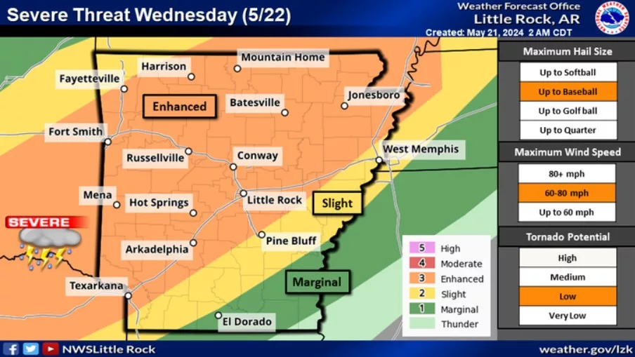
Featured image: Chances for thunderstorms continue into Wednesday as a cold front stalls across northwest sections of the state. Damaging winds and very large hail will be the primary threats with the strongest storms. A few tornadoes could also be seen. (Image: National Weather Service)
The National Weather Service forecasts severe weather for this area for the next few days.
According to the National Weather Service’s Little Rock office, there will be an increased chance for strong to severe storms beginning Wednesday as an unsettled pattern continues for the state through the weekend.
The primary threats with the strongest storms would be very large hail and damaging winds, but the weather service says an “isolated tornado or two” are possible.
Forecasters say the strength of the storms will depend on how much development occurs Wednesday morning and if clouds and rain curb afternoon heating. The weather service says a lack of heating tomorrow would keep the atmosphere somewhat stable, making severe weather less likely.
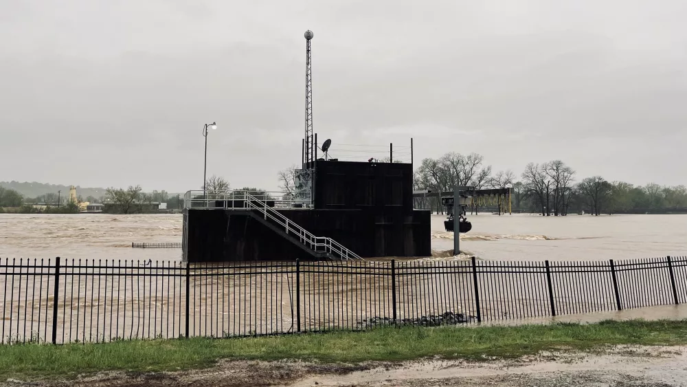
Heavy rain is forecast through Friday morning, with three inches possible in places, leading to an increased threat of flash flooding.
Have a news tip or event to promote? Email White River Now at news@whiterivernow.com. Be sure to like and follow us on Facebook and Twitter. And don’t forget to download the White River Now mobile app from the Google Play Store or the Apple App Store.
Get up-to-date local and regional news/weather every weekday morning and afternoon from the First Community Bank Newsroom on Arkansas 103.3 KWOZ. White River Now updates are also aired weekday mornings on 93 KZLE, Outlaw 106.5, and Your FM 99.5.


